
Mobile mapping
The path of innovation is walkable through the most unusual means. One of these is mobile mapping, an advanced mapping system.
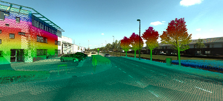
Mobile mapping allows us to quickly map roads, infrastructures and buildings through a very technological platform equipped with laser scanner sensors and digital cameras, installed on mobile vehicles.
The system can travel on roads and railways, by capturing every element present along the lane that is object of the mapping in a very detailed way, thus allowing the acquisition of images and videos and the production of very accurate tridimensional models for the design, maintenance and assessment of the traffic flow and the detection in case of accidents.