SIMBA | Integrated Monitoring System of Hydrographic Basins
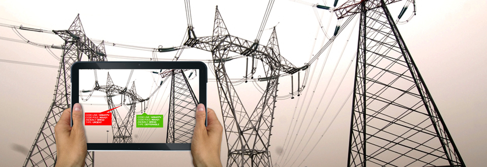
The general objective of the project called "SIMBA" is the creation of an Integrated Monitoring System of Hydrographic Basins able to support the planning of maintenance, rehabilitation and restoration interventions of potential risk situations, the monitoring of the status of waters and the health state of the surrounding vegetation.
The system is based on the use of different techniques of Earth Observation which involve the use of both satellite data and data acquired through airborne platforms as well as the reuse of environmental and territorial data of different nature and sources, also acquired with different purposes or in the context of other projects and which are of interest, above all, in order to establish the state of knowledge of the territory to be monitored (both in terms of morphology and environmental parameters considered to be of particular interest).
The project, realized by the TeRN Consortium, which Geocart belongs to, for the Parco Nazionale Appennino Lucano Val d'Agri Lagonegrese, has foreseen an initial start-up phase with a study activity and a first implementation of the System and subsequent phase regime
In the startup phase, Geocart produced the following documents:
- GIS of Geomorphological Framework of the Park area on a large scale and on a detailed scale;
- GIS of Geomorphological Framework in a detailed scale of the Pertusillo Lake area;
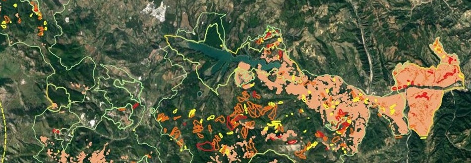
- GIS of Identification of Areas potentially subject to Hydrogeological Instability.
The layers loaded in the GIS are spatial databases produced by a synthesis work of the acquired information.
The hydrogeological instability index layers, which characterize the GIS for the identification of areas potentially subject to hydrogeological instability, constitute the product of greatest interest because they allow us to locate the areas most exposed to hydrogeological instability events.
Time Period: 2015 - 2016