
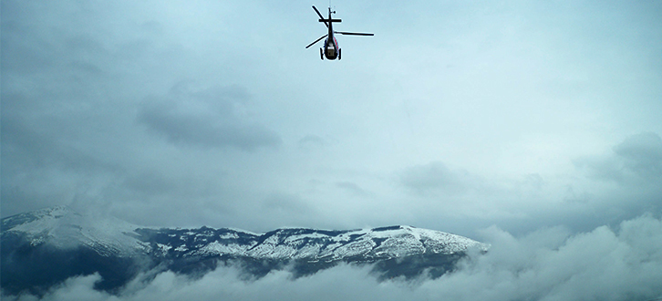
Aerial Remote Sensing
We believe that innovation is our driving force to map out the most engaging paths to follow.
Our ability to plan and implement campaigns of aerial remote sensing, customised according to the client's specific needs, lies in this perspective.
Through the use of traditional and innovative equipment, such as digital cameras and videocameras, thermal cameras, Laser Scanner and hyperspectral sensors, aerial remote sensing allows us a wide array of possible applications, such as territorial and environmental data capture and the monitoring of technological networks and infrastructures.
The processing of information gathered by specific software , allows us to obtain very accurate products such as orthophotos, DTM and DSM, technical and thematic cartography. The reliability of measures carried out and the precision of the final outputs are guaranteed by the experience of our technicians and by a careful activity of topography aimed at the correction, control and trial of aerial data.