SELECTED BY THE UN

CTBTO (Preparatory Commission for the Comprehensive nuclear-test-ban treaty organization) –  Advanced System for aerial mapping aimed at the detection of secret nuclear sites.

scelti dallONU

Since 2011, innovation, quality and technologies made in Geocart have been at the service of international security.
That is why, we have been selected by the UN as technological and operational partners for the monitoring of secret nuclear sites. From on-site inspection to customised planning of a sensor platform installed on aircrafts, we respond to all the clients' specific requests for which we have become a reference point. The results of this collaboration were excellent and represent a crucial stage in Geocart's history, as well as an important acknowledgement for the quality of the offered services in the field of the remote sensing.

LASER AND HYPERSPECTRAL

Laser scanner

laser

Thanks to the rapidity of execution and precision of the results, in addition to the traditional techniques of aerial and terrestrial photogrammetry, the Laser scanner has become a powerful and reliable tool for advanced topography practices, for the digital tridimensional modelling and for environmental surveys.

The Laser Scanner is based on the physical property the objects have to generate an echo as an answer to the laser impulses that, sent by a source and subsequently gathered by a proper recording system, allow us to investigate the features of interest of the target. It finds application in several fields, from the systems of mapping and support to the engineering and architectural planning, to the environmental monitoring, from the conservation of cultural goods to the advanced production of digital assets for cinematography and gaming.


Hyperspectral sensors

iperspettrale

The hyperspectral sensors we have allow us to carry out detailed analysis in several fields of application: the forestry-farming field, in order to monitor the state of health of vegetation and the analysis of the farming productivity; in the hydrological field and for the study of coastal environments; in the sector of geological surveys, with the preliminary research of areas of oil interest, in the sector of the environmental monitoring of many of the natural components.

The research is extending the fields of use. Among the typical uses of this technique, we can cite the thermal mapping of the territory, that can be obtained from the analysis of the bands of the infrared and the detection of specific substances or components through the research of the object material.

Our system of sensors operates in VNIR (Visible and Near InfraRed) and in SWIR (Short-Wave InfraRed); it can be used both on aerial vehicles, together with a GPS positioning system and an Inertial System for the georeference of the produced images, and for ground acquisitions.

DIGITAL LIGHTHOUSE PROJECT | VIRTUAL REALITY AND DIGITAL VISUAL EFFECTS

progetti in corso

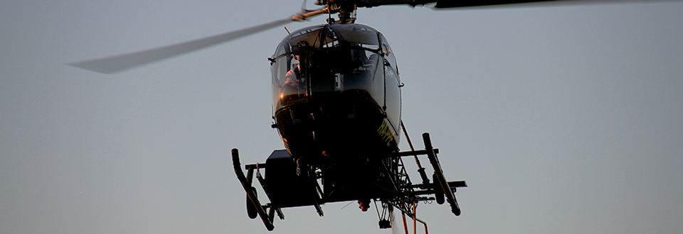
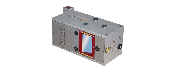
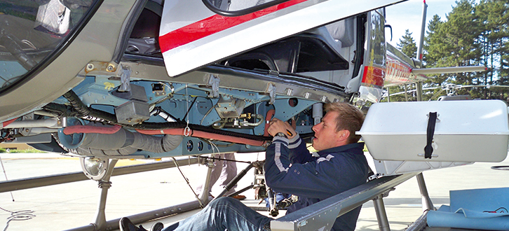
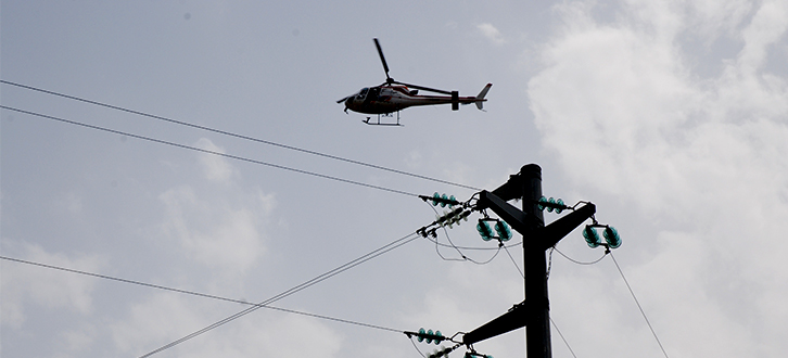
The search for solutions guaranteeing the fruition of spatial information through increasingly accurate and realistic virtual realities through the identification of user-friendly software application, is currently one of the most innovative activities we have.

Cinema, gaming and cultural goods are the sectors which will take more advantage from the results of our experimentation. We aim in fact to investigate and optimize the techniques currently in use in the production process of Visual Effects and faithful digital reconstruction of the sites of interest, architectonic objects and buildings, so to get high quality results reducing the effort, both in terms of time and cost. In order to achieve this important objective, we started up the implementation of a research and development project that classified at the first place in the rankings for aids to investments for SMEs.

The digital metamorphosis that is affecting the cinematographic sector, is likely to result in the rewriting of rules and practices currently used giving to the movie post production and in particular to the digital visual effects, the leading role.

Today, thanks to the digital technologies, it is possible to recreate by the computer scenarios, situations, objects and people carefully detailed. Within the epochal evolution that is affecting the movie industry, we want to support the Italian cinema in the creation of a “smart cinema”, bare of sophisticated and expensive set completely rebuilt for each movie, through the digitalization of movie set and the optimization of the workflow necessary to the production of post-production visual effects. We want to contribute to the revolution of the Italian cinema, by being on the frontline through the creation of a new and original movie product.

Furthermore, the objective of this experimentation is to offer increasingly advanced tools to support more determined and better financed policies in the sectors of Entertainment Media and Cultural Goods (safeguard, management and promotion of the heritage) at European, National and Regional level.

The project was financed under the Public Notice "Aiuti agli investimenti in Ricerca e Sviluppo per le PMI della Città di Potenza" ("Aid for Investments in Research and Development for SMEs in the City of Potenza") with funds from the P.O. FESR Basilicata 2007/2013 Asse V "Sistemi urbani" Linea di Intervento V.1.2.B.

Time period: 2014 - 2015

Download the project abstract

HIGH LEVEL IT SOLUTIONS

System integration

System integration1

We are convinced that integrating is much better than the summing of the single parts.

One of our added-value services is just the integration of high technological content systems and devices for sensing networks and infrastructures and for environmental monitoring.

We design, implement and test multi-sensor platforms aimed at making accurate aerial and terrestrial mapping. We set up customised solutions carrying out high efficient systems that integrate the most suitable sensors for the kind of acquisition required. Among these, we include high resolution digital cameras, thermal cameras, full waveform laser scanners and hyperspectral sensors. More recently we started up research and development activities envisaging the use of drones and UAV that would complete the diversified offer of aerial mapping equipment.

In the light of the competences owned and the experience gained by our Information and Communication Technology experts, we plan systems for data capture and the mapping of areas also very extended in response to the technical requirements defined by the client.

Quality, reliability and stability of the systems provided, are the main targets of our activity of hardware e software engineering.

HIGH FLYING SURVEYS

Power line inspections by helicopter

ISPEZIONIRETE INFRASTRUTTURE

Since 2001 to date we have inspected more than 300.000 km of medium voltage power lines, largely in Italy for supporting, through prompt information managers and technicians in the definition of the best interventions for the management of the critical situations emerged during the lines diagnosis, especially in emergency situations. The partnership with Enel continues setting today the basis for the continuous improvement of the service offered, through the innovation of the technologies and the work processes and the enhancement of the usability of data elaborated by software specifically designed and implemented.

SERBIAN RAILWAYS


Italferr  – Mapping of the Serbian railways

ferrovie serbe

We have reconstructed the detail of the main Serbian railways flying over more than 1.500 kilometres of lines in record time.

Through highly innovative sensors installed on helicopter we were able to obtain a very precise mapping without causing any service interruption. The customer could use the mapping results, thanks to our software designed to guarantee the maximum data transfer rate, allowing the finalizing of an efficient system for the management of maintenance and updating of the Web.

More Articles...

This site does not use any cookie profiling.On this website we use only technical cookies.
Cookies are used by third parties related to the presence of "social plugin" , Youtube's video embedded,Google Maps. If you continue browsing, you accept the use of cookies
Should you need further information about the use of cookies on the site and read how to disable the use, please read our extensive information about the use of cookies.